ROBERT KITCHIN/Stuff
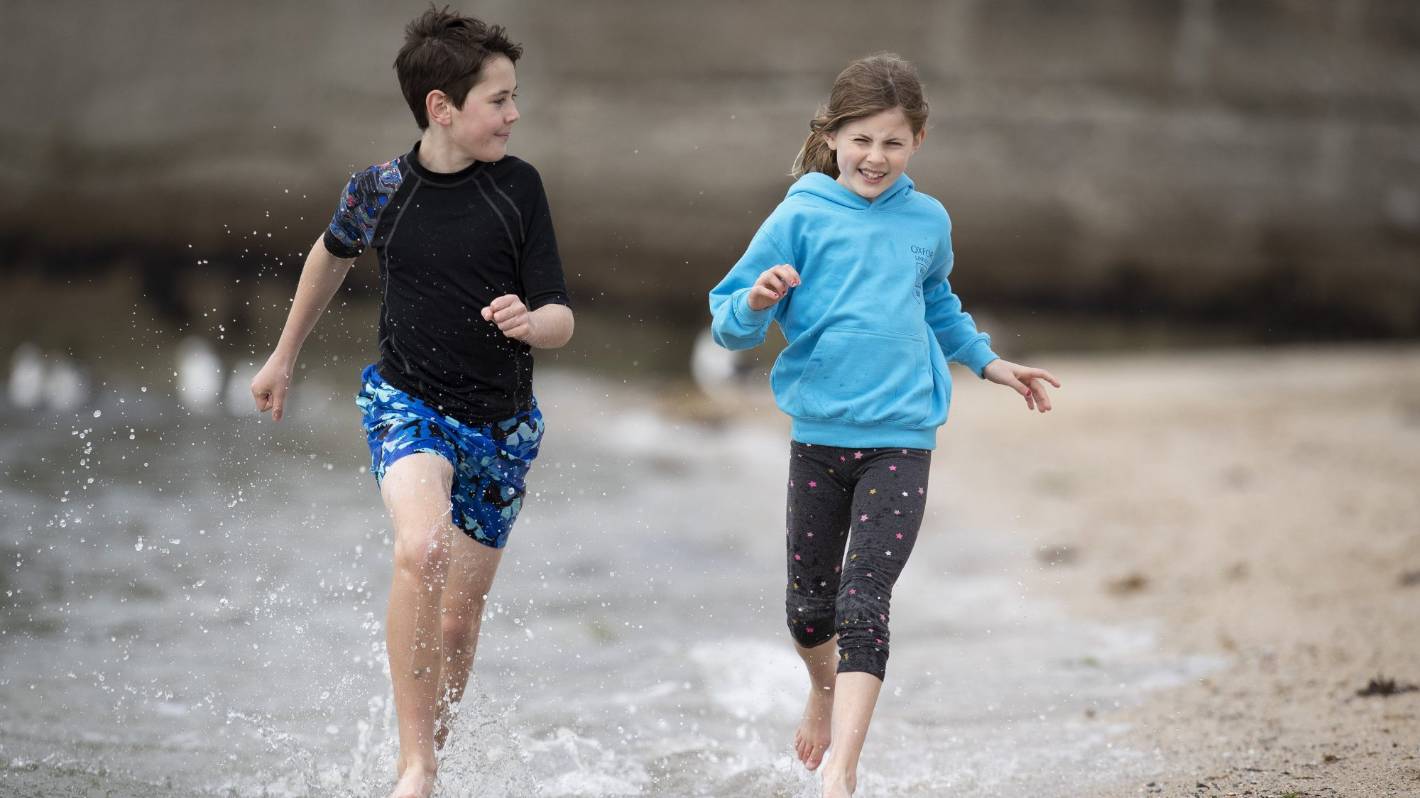
Brother and sister Alex, 10, and Georgina McKenzie, 8, run about in the water on Freyberg Beach in Wellington. New Zealand has been experiencing a milder winter than usual.
Winter around New Zealand has been notably less-wintry than normal but it is leaving with a blast of hail and thunder for many places.
MetService data from New Zealand’s main centres show that each month of winter – June, July, and August-so-far – has been warmer than average.
It comes as Niwa (National Institute of Water and Atmospheric Research) is speculating we could be in for an “epic marine heatwave”.
Niwa forecaster Ben Noll said it was likely the coming winter summary would show several near-records for the season.
READ MORE:
* Chance of ‘weather event’ ahead, but dryness expected to dominate
* Sunny, warm start to Autumn – with no rain relief for driest areas
* Coastal seas around New Zealand head into another marine heatwave
“Of particular interest to me is the prospect of what such a mild winter will have on the upcoming spring/summer.
“Particularly from the standpoint of our regional sea temperatures, which are warmer than normal at the moment.
ROBERT KITCHIN/Stuff
A man rides an electric hydrofoil surfboard on the waters of Lyall Bay on a warm winter Sunday.
“We also have a La Nina brewing – last time we had one of those was summer 2017-18, which came with that epic marine heatwave.”
MetService figures show that Auckland, Hamilton, Tauranga, Wellington, Christchurch and Dunedin all had higher average daily highs than usual in each month of winter, which runs from June till the end of August.
But with just a week-and-a-bit left to go of winter, MetService is forecasting some wild weather during the season’s last hurrah.
An active front from the Tasman Sea was moving over New Zealand from Sunday afternoon to Monday morning, with heavy rain and squally thunderstorms for many parts of the North Island as well as northwest Nelson.
Wellington also likely had hail in the mix on Monday morning.
